Introducing Felt AI, your in-house spatial engineer Learn more

Powerful GIS software, made simple

Enable your organization with the first comprehensive cloud-native GIS software for interactive maps, data and boundary analysis.

Trusted by industry leaders

Amazon S3

BigQuery

Databricks

ESRI

Google Cloud

Create interactive maps online, with stunning results

Felt’s platform hides complexity behind intuitive design, making it easy for anyone to deliver maps fast.

Powerful and fast GIS analysis for quick insights

Felt makes common geoprocessing, filtering and analysis workflows intuitive for all users.

Share maps online and collaborate effortlessly with your team, clients and customers

Whether you need to collaborate in real-time or embed on a site for feedback, Felt makes sharing easy.

Best-in-class security, with upgraded user management

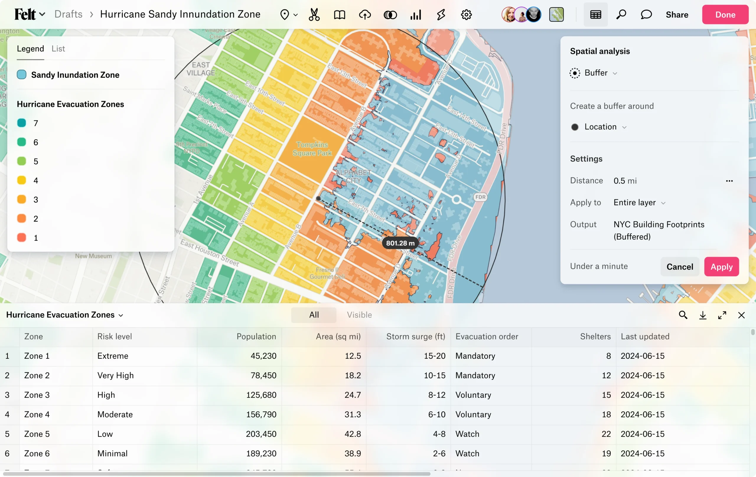
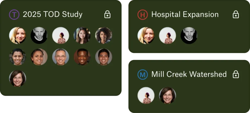
Felt’s robust permissioning systems and security measures scale with your team.

The modern GIS stack is here. Get started today.

Customer stories

“For anyone needing to deliver mapping products quickly, I’d be hard-pressed to recommend anything else.”

Features

GEOCODING

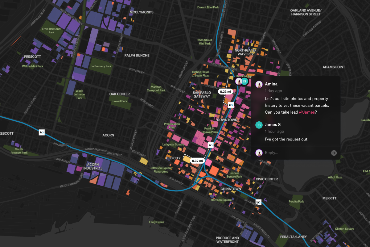
Add a spreadsheet with addresses, Felt maps them to locations.

DATA exports

Get a GeoJSON, GeoPackage, or GeoTIFF of your data for your workflows.

IMAGE EXPORTS

High quality exports for printing and presentations.

Permission control

Fine tune who can access your team’s maps and data.

Automatic legends

Felt creates a beautiful, interactive legend for any data you add.

Data table

View your data as you work with it on the map.

Great defaults

Start with a map that looks beautiful right away, then customize.

GUEST & PUBLIC COMMENT

Gather feedback from teammates, guests from other organizations, or the public.

See how people around the world are mapping with Felt

Explore sites suited for commercial, mixed-use, industrial, and office development in incentive zones.
Visualize demand hotspots, evaluate bike lane coverage, and plan for smarter micromobility infrastructure.

Start creating maps today