Introducing Felt AI, your in-house spatial engineer Learn more
Advanced mapping solutions for cities and government
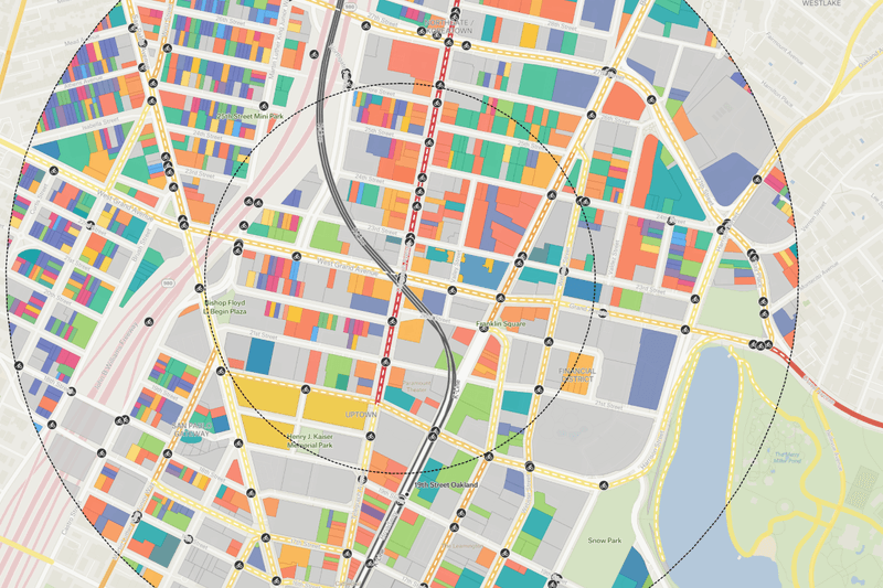
Felt’s powerful mapping platform makes it easy to build maps, apps and dashboards with exceptional speed and simplicity, letting your teams focus on impact rather than implementation.
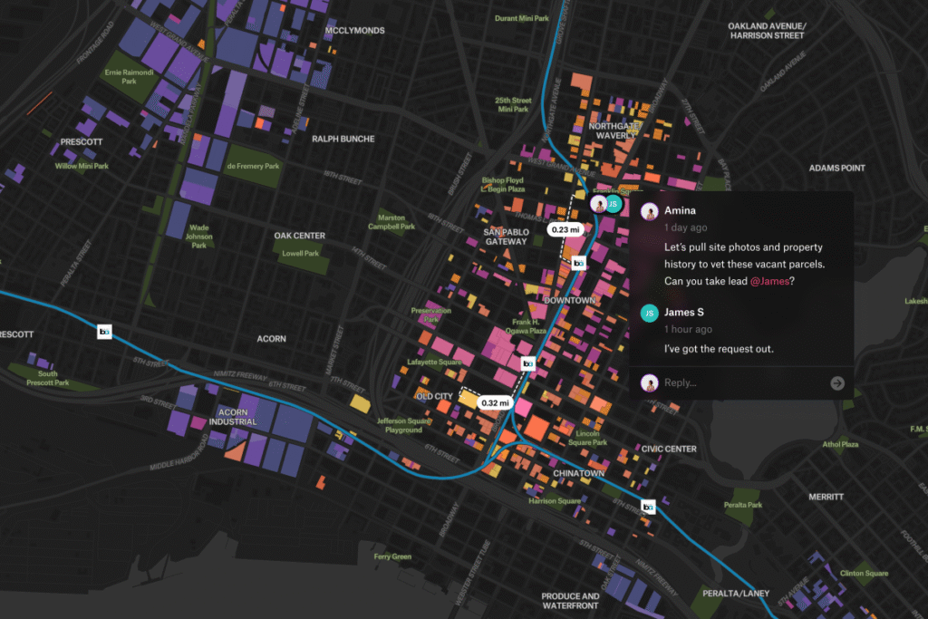
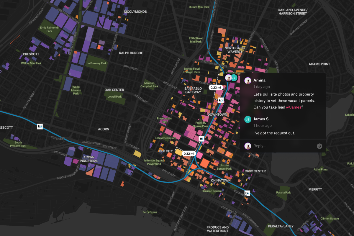
Felt’s intuitive interface allows all your project stakeholders to easily access, review and comment on plans accelerating timelines and improving outcomes.
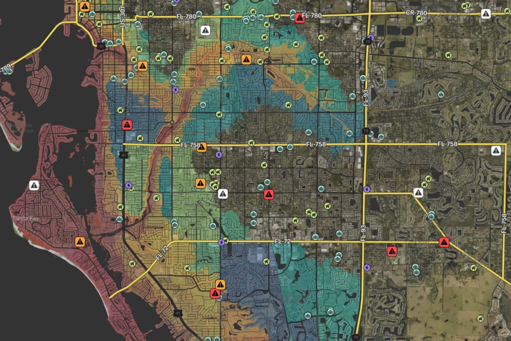
Make complex data immediately accessible and actionable
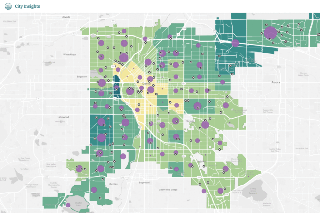
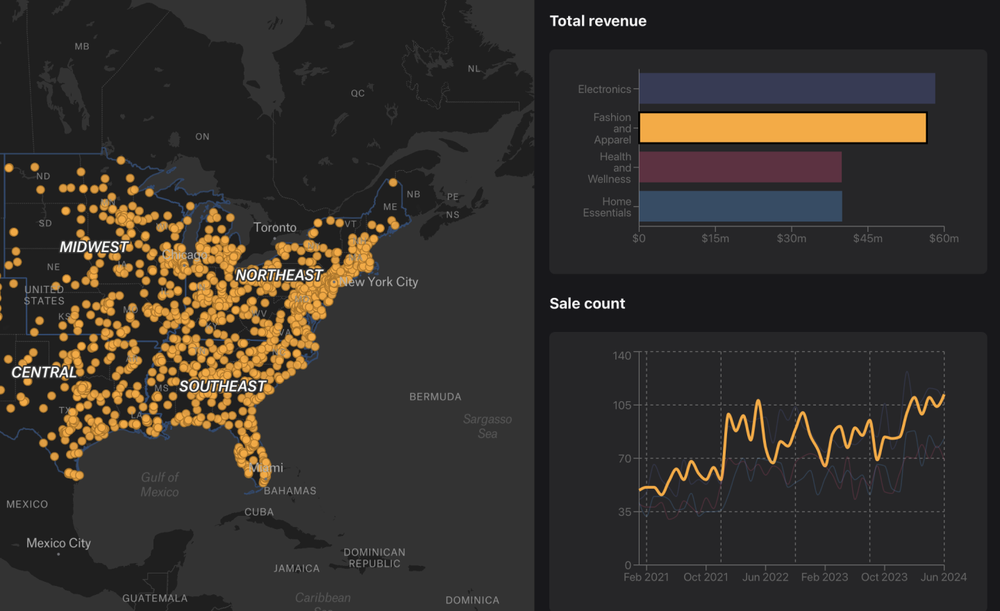
Monitor assets in real-time, visualize maintenance needs, and assess progress with tools accessible to everyone from field teams to executive leadership.
Make complex data immediately accessible and actionable